Project Description
This project was developed to support the surverying of a road inventory using GIS tool for the design and implementation of the contraflow corridor for public transportation along the central lane of Guayabal Avenue, between Industriales and Parque del Artista in Medellín.
Methodology
Initially, the project team planned to conduct the inventory using traditional means (photocopies of a template, pencil, GPS, and camera). However, given nearly 10 km of urban roadway and the various elements to inventory (vertical traffic signs, traffic lights, ramps, bus stops, trees, etc.), this approach was not efficient.
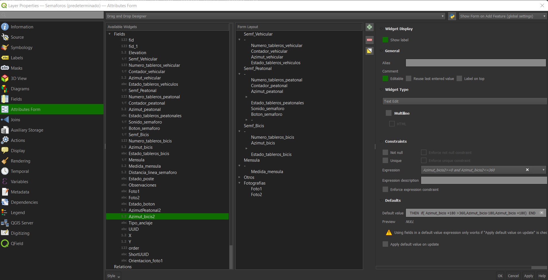
To improve efficiency, customized spatial forms were designed in accordance with specialists requirements using database triggers and SQL queries. A spatial database was created containing vector and raster layers that incorporated all project specifications, and data collection was deployed via the QFIELD free application.
.png)
Key elements:
- Creation of personalized spatial forms
- Use of QFIELD for in-field data capture
Project Implementation & Results
The project team was trained, and the data collection process became much more practical, efficient, and less error-prone compared to traditional methods. By synchronizing each user through cloud services (QGIS Cloud), real-time monitoring of data capture was possible, allowing for immediate troubleshooting in the field. This also shortened the office phase significantly:
- Data were synchronized, cleaned, and presented in KML format with photographs linked to each data point.
- Attribute reports were automatically generated using JavaScript, HTML, CSS, and QGIS Atlas, accomplishing in 2 days what was initially budgeted for 2 weeks.
.png)
Outcome: 256 automatically created sheets for traffic lights and 53 sheets for access ramps.
.png)
.png)